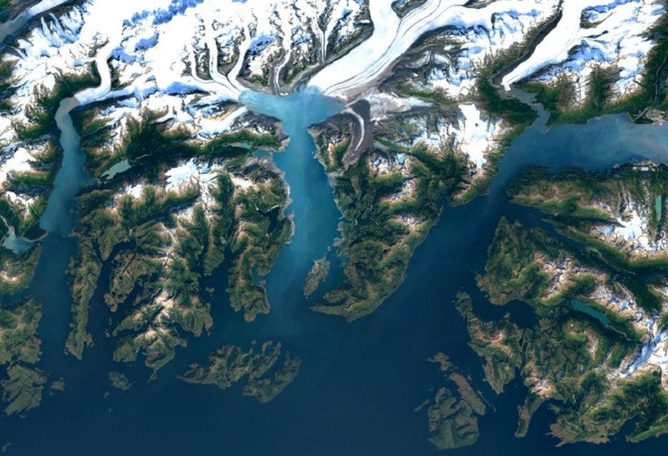
In Google Maps are beginning to emerge, new satellite images, taken by Landsat 8.
 Card is without doubt one of the best online services of Google. It allows you to not only view the location of roads, but also to see almost any point on the planet. Three years ago, in Google Earth, there were pictures of Earth without clouds. Now Maps debut even more beautiful version.
New satellite images Landsat TM 8, which was launched in 2013 year. The images were processed by new methods, making them sharper, than ever before. Google has scanned millions sent photos and selected the best of them, thus creating the ideal image of planet earth.
Landsat 8 It produces images with very high resolution and virtually any color transfer. At the same time it has a considerably higher performance, - it makes twice as much pictures, than the previous satellite (Landsat 7). Thereby, Google has received a mail processing petabytes of photos.
What are the effects? amazing! Here are some examples:
Detroit, Michigan, USAAlps, Switzerland Balkhash, Kazakhstan Brazil And the comparison of photos of New York (Landsat 7 from above / Landsat 8 in the lower part)


